The Anatomy of Coyhaique Rivers: A Hydrological Guide for Fly Fishers
Coyhaique does not have one river season. It has two kinds of water — snowmelt-fed freestones that swell and fall with the mountains, and groundwater-fed spring creeks that barely notice — and a calendar that runs from October to April. Reading which one you are standing in, and what month it is, decides more than the fly on your tippet.
Read the GuideTwo Kinds of Water, One Region
Most anglers arrive in Coyhaique thinking about flies. The flies matter least. What decides a day here is where the water came from, because the Aysén Region runs two hydrological systems side by side and they behave like different countries.
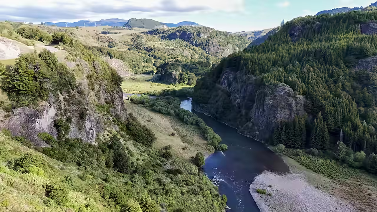
Freestones — the Simpson, the Ñirehuao, the Mañihuales, the Emperador Guillermo — are fed by snowmelt and rain off the cordillera. They are big in October, thin by February, and they answer any weather that lands on the catchment. Spring creeks come up out of the ground already cold, at close to the mean annual ground temperature, and hold that condition while everything around them heats up.
That distinction is the whole guide. Every section below is one month range and the question it forces: how much water, how cold, and where the fish are because of it.
The Difference, Measured
This is not a metaphor. The Dirección General de Aguas gauges these rivers every thirty minutes, and the readings separate them cleanly. Over the week of 1 to 7 August 2026 the Simpson gained roughly 57% of its flow and the Ñirehuao roughly 33%, off the same weather.
Winter Baseline: the Floor the Season Rises From
| River | Type | Flow (m³/s) | Water temp. | 7-day change |
|---|---|---|---|---|
| Mañihuales | Freestone | 77.03 | 7.6 °C / 45.7 °F | +55.1% |
| Ñirehuao | Freestone | 14.06 | 5.6 °C / 42.0 °F | +32.5% |
| Emperador Guillermo | Freestone | 21.71 | 2.7 °C / 36.9 °F | +27.5% |
| Simpson | Freestone | 20.01 | 2.0 °C / 35.6 °F | +56.9% |
Provisional DGA readings taken between 08:49 and 09:25 on 7 August 2026 — deep winter, outside the fishing season, and the coldest, lowest state these rivers reach. Note the spread: 7.6 °C on the Mañihuales against 2.0 °C on the Simpson, on the same morning, in the same basin. There is no such thing as “the water temperature in Coyhaique.”
October – November
Early Season: the Pulse of the Thaw
The season opens on rising water. Snow that fell on the cordillera all winter is coming off it, and the freestones carry heavier, faster, colder current than at any other point in the calendar. Visibility is lower. The seams are wider apart.
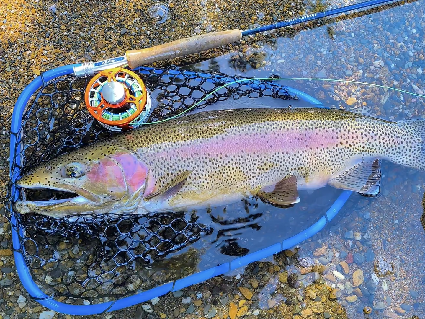
Trout metabolism starts slow in that cold water and turns aggressive quickly as it warms. Fish are not spread across open water — they are tight against the bank, behind boulders, and in the deep structure where heavy current is broken. You are looking for the places a fish can hold without swimming.
The method follows: sinking lines, weighted nymphs, and large streamers that move enough water to be found. This is searching work, not matching. Read the early season window in detail.
December – February
High Season: Low Water and Terrestrials
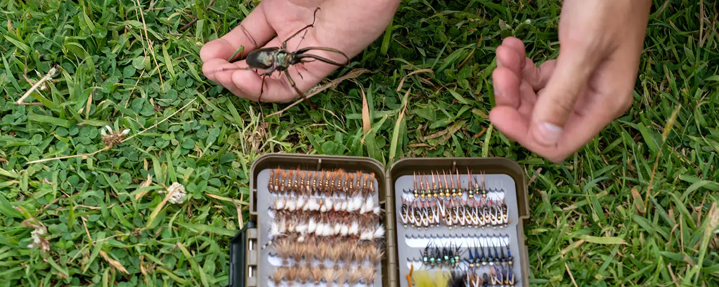
The snowpack is spent and the freestones drop hard. Water goes gin-clear, the surface warms under long Patagonian daylight, and the fish get a much better look at everything you put over them. This is when Coyhaique earns its dry fly reputation: caddis coming off in the evening, and the terrestrial season at full volume — hoppers, beetles, and on the Mañihuales the cantaria beetle that trout there will move a long way for.
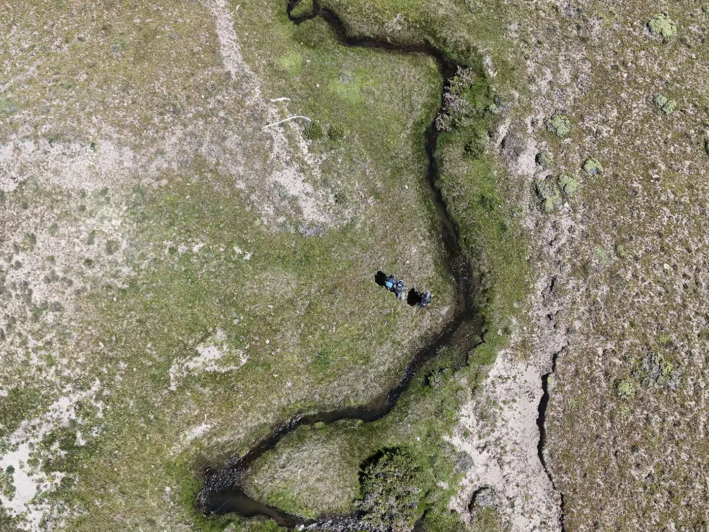
It is also when the spring creeks stop being an option and become the answer. Their water arrives from underground rather than off a snowfield, which means it is thermally buffered: while a shallow freestone reach climbs through the afternoon, a spring creek holds. When the main rivers warm, that is where the fish and the fishing go.
Fishing them is a different discipline — long leaders, fine tippet, and a first cast that has to be right. See the spring creek sight-presentation guide.
Conservation
The 68°F Rule: Thermal Stress and Delayed Mortality
Oxygen is less soluble in warm water. That is the entire mechanism, and it is not negotiable. At 10 °C fresh water holds about 11.3 mg of dissolved oxygen per litre; at 20 °C — 68 °F — it holds about 9.1 mg. Roughly a fifth of the supply is gone.
A trout is doing the opposite thing at the same time: warmer water raises its metabolic demand. Less oxygen available, more oxygen needed. Add a fight to that and the fish finishes in an oxygen debt it cannot repay from the water it is swimming in.
This is why the rule is about delayed mortality. A brown or rainbow released above 68 °F can kick out of your hands looking fine and die hours later. How strongly it swims away tells you nothing. The thermometer does.
Dissolved Oxygen at Saturation
| Water temp. | O₂ (mg/L) | Decision |
|---|---|---|
| 10 °C / 50 °F | 11.3 | Fish normally. |
| 15 °C / 59 °F | 10.1 | Fish normally. Keep taking readings. |
| 18 °C / 64 °F | ≈ 9.5 | Shorten fights, keep the fish in the water, plan the move to a spring creek. |
| 20 °C / 68 °F | 9.1 | Stop fishing this water. Move or end the day. |
| 25 °C / 77 °F | 8.3 | Lethal territory for trout. Nothing justifies a cast. |
Saturation values in fresh water at sea-level pressure. The 18 °C figure is interpolated between the tabulated 15 °C and 20 °C points.
What We Do About It
- Carry a stream thermometer. It costs less than a box of flies and it is the only instrument on the river that settles an argument.
- Read in the morning and again in mid-afternoon, when water is warmest. A morning reading does not clear the whole day.
- At the limit, relocate rather than push. That is what the spring creeks are for — same day, colder water, better fishing.
- Keep the fish wet, unhook it in the net, and skip the photo when the water is warm.
March – April
Close Season: Cooling Water and the Migratory Run
Autumn rain and night frost pull the temperature back down fast, and flows begin to fluctuate again — the freestones respond to rain the way the chart above shows them responding, in pulses rather than in a season-long curve.
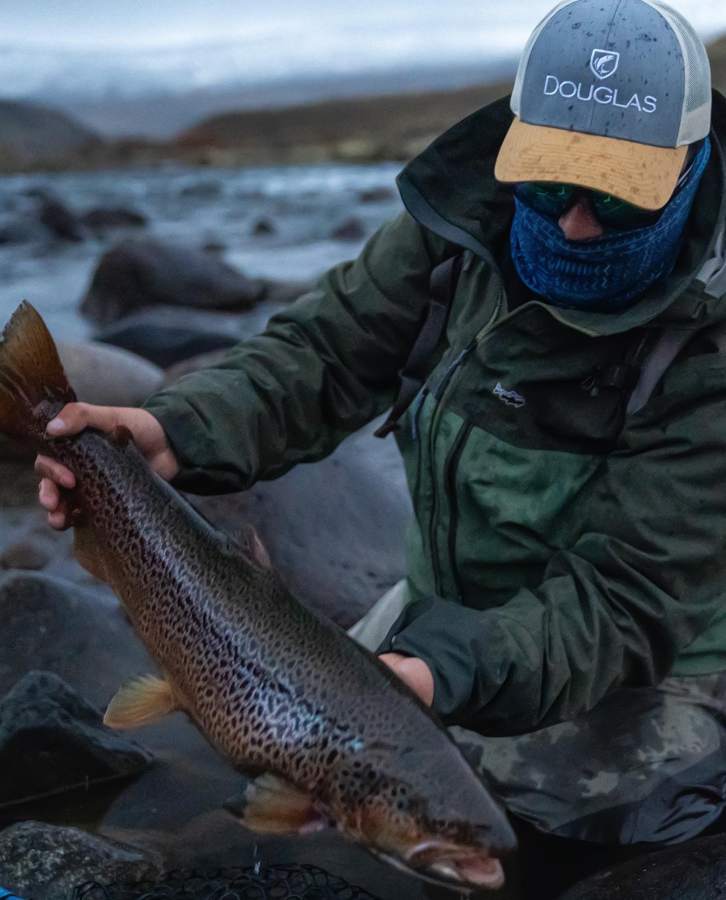
Cooler water and shortening daylight put the fish into pre-spawn feeding, and large migratory brown trout move out of the lakes and up into the rivers. The size distribution of what you can hook changes more in these weeks than at any other point in the season.
Heavy streamers and sink-tips come back out. Dry fly fishing does not disappear — it narrows to short midday windows when mayflies come off in the warmest hours of the afternoon. The mechanics of those runs are laid out in migratory trout mechanics.
The Season on One Page
| Oct – Nov | Dec – Feb | Mar – Apr | |
|---|---|---|---|
| Flow | High and falling slowly, thaw-driven | Low and stable, snowpack spent | Fluctuating, rain-driven pulses |
| Water | Cold, heavy, reduced visibility | Gin-clear, warming through the afternoon | Cooling fast, clarity varies with rain |
| Trout | Holding tight to structure and banks | Surface-oriented, selective, spooky | Pre-spawn feeding, lake fish moving in |
| Method | Sinking lines, weighted nymphs, big streamers | Dry fly: caddis and terrestrials | Streamers, plus midday mayfly windows |
| Thermal risk | Low | Real — take readings, use the spring creeks | Low |
Where This Applies
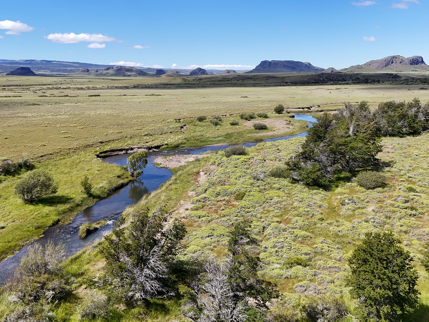
Everything above describes the catchments around Coyhaique, in the Aysén Region of Chilean Patagonia — the Simpson through its valley below the Coyhaique junction, the Ñirehuao across the open steppe above Villa Mañihuales, the Mañihuales above the Simpson junction, the Emperador Guillermo, the Paloma (a lake-fed river, steadier than the freestones), and the lake systems of Elizalde and Zenteno.
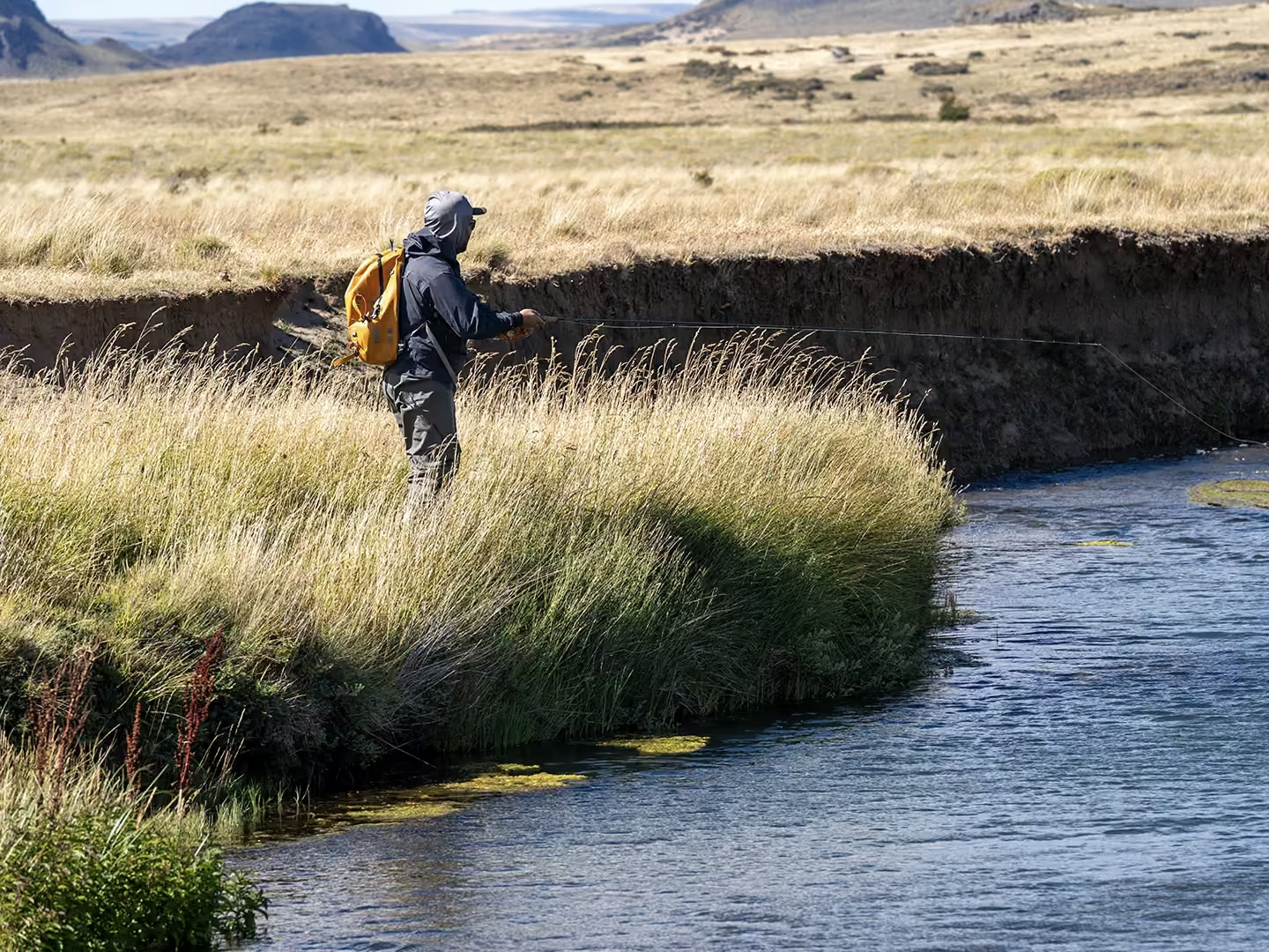
The Ñirehuao valley in particular is the clearest illustration of a freestone that lives on its own weather: open grassland catchment, no lake upstream to absorb anything, and a flow that responded to one winter week with a third again as much water. It is also the terrestrial river — those grasslands are where the hoppers come from.
Full structural detail on each beat is in the home waters overview, and the month-by-month calendar in our fishing season guide.
Know the River Before You Step Into It
None of this is theory you leave at home. Knowing that the Simpson can gain half its flow in a week tells you which rod to string. Knowing that a spring creek holds its temperature while a freestone climbs tells you where to spend the hottest afternoon of your trip. Knowing what happens to a trout above 68 °F tells you when to put the rod down — and that is the one that matters most, because the river you fish next season is the river you release fish into this one.
Don't guess the conditions. We publish flow, level and water temperature for these rivers straight from the DGA gauges, alongside wind and rain, so you can see the state of the water before you plan a day around it.
Common questions
What is the 68°F rule in trout fishing?
The 68°F rule is the practice of stopping fishing for trout once water temperature reaches 68 °F (20 °C). Warm water holds less dissolved oxygen — about 9.1 mg per litre at 20 °C against 11.3 mg at 10 °C — so a fought fish cannot repay its oxygen debt after release. It may swim away and die hours later. The rule is about that delayed mortality, not about whether the fish looks strong when it leaves your hands.
Why do Coyhaique spring creeks stay cooler than the freestone rivers in midsummer?
Spring creeks are fed by groundwater that emerges at close to the mean annual ground temperature, so their source is buffered against air temperature and daily sun. Freestone rivers around Coyhaique are fed by snowmelt and runoff and are exposed along their whole length, so they track the weather. In midsummer that difference makes spring creeks the thermal refuge when the main rivers approach the 68 °F limit.
When do rivers around Coyhaique run highest?
The snowmelt-fed freestones run high early in the season, in October and November, and drop through midsummer as the mountain snowpack is spent. Autumn rain in March and April can push them back up in short pulses. In the week of 1 to 7 August 2026 the Simpson rose about 57 percent.
Do I need a stream thermometer to fish in Patagonia?
Yes, if you fish midsummer. A thermometer is the only way to know whether you are on the safe side of the 68 °F limit, and it costs less than a box of flies. Take the reading in the morning and again in mid-afternoon, when water is at its warmest, and move to a spring creek or stop for the day when the number is reached. Our guides carry one on every day of the season.
Which months are best for dry fly fishing in Coyhaique?
December through February. Flows have dropped, the water is clear, and the terrestrial season — hoppers and beetles, including the cantaria beetle of the Mañihuales — puts large trout on the surface. Short dry fly windows also open around midday in the Close Season, in March and April, when mayflies come off in the warmest hours.
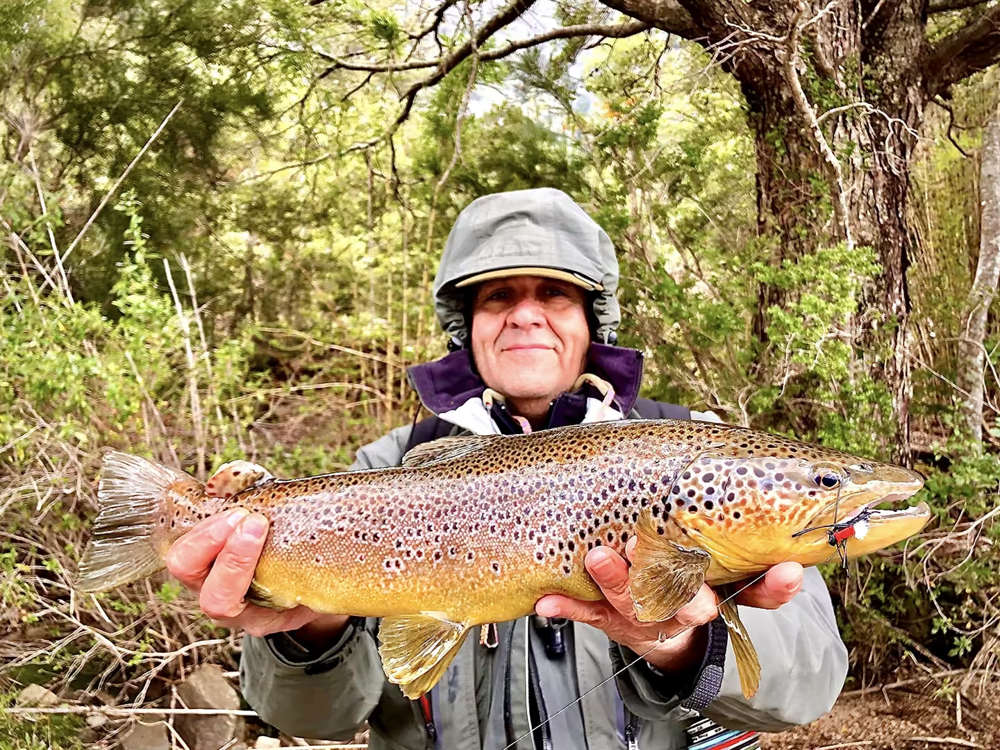
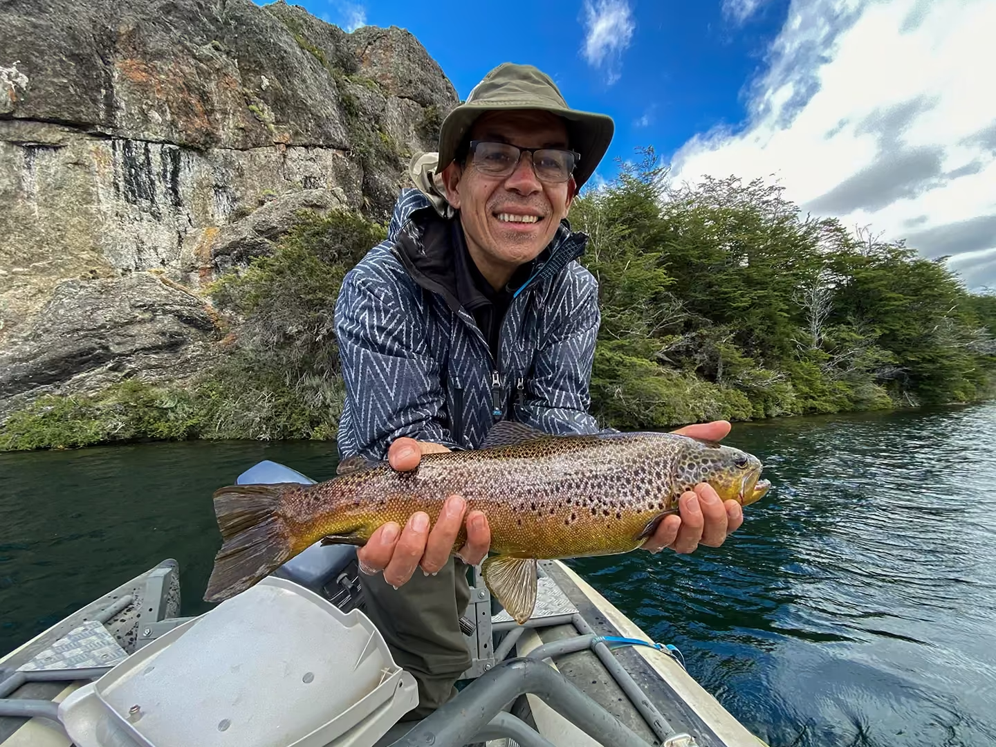
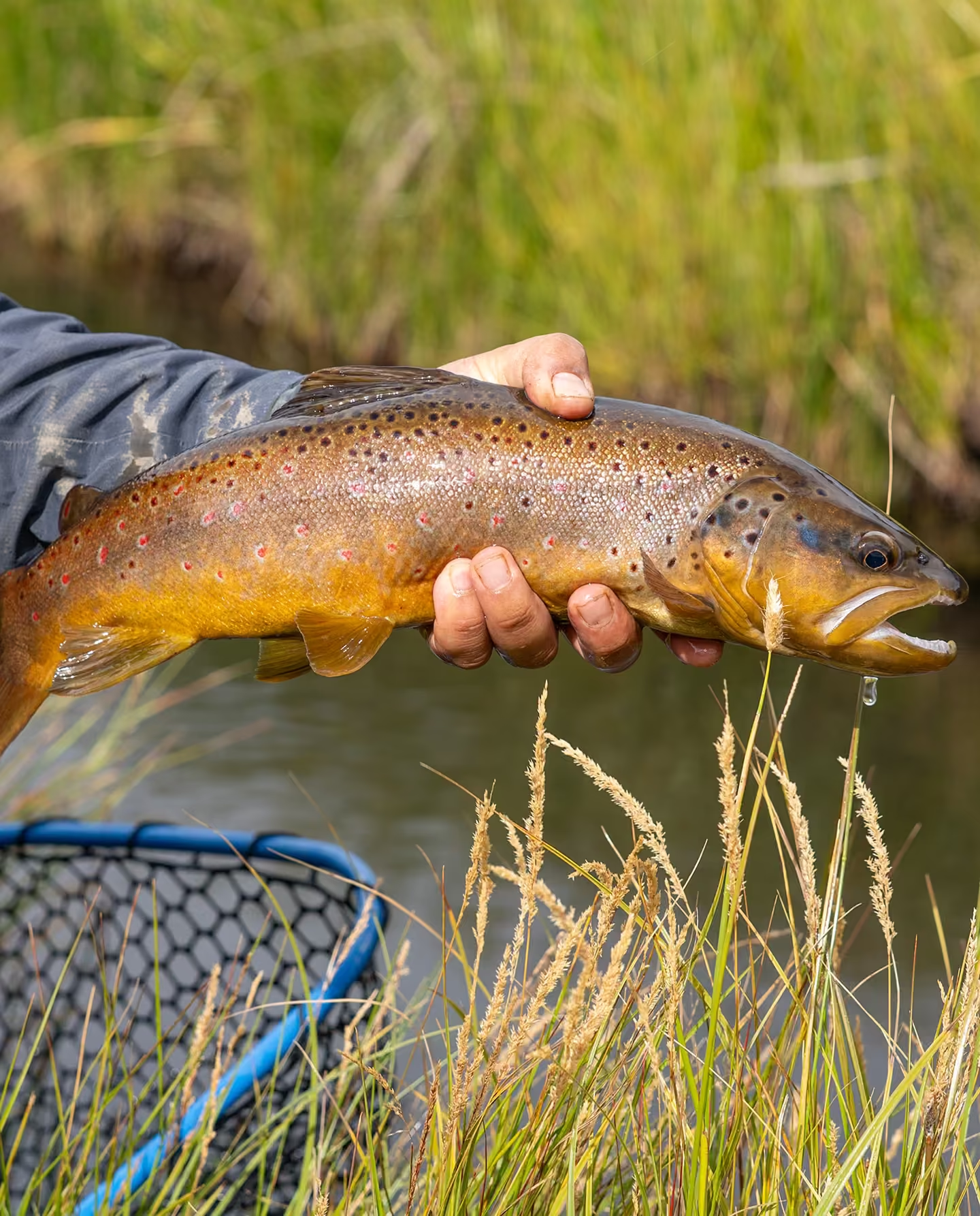
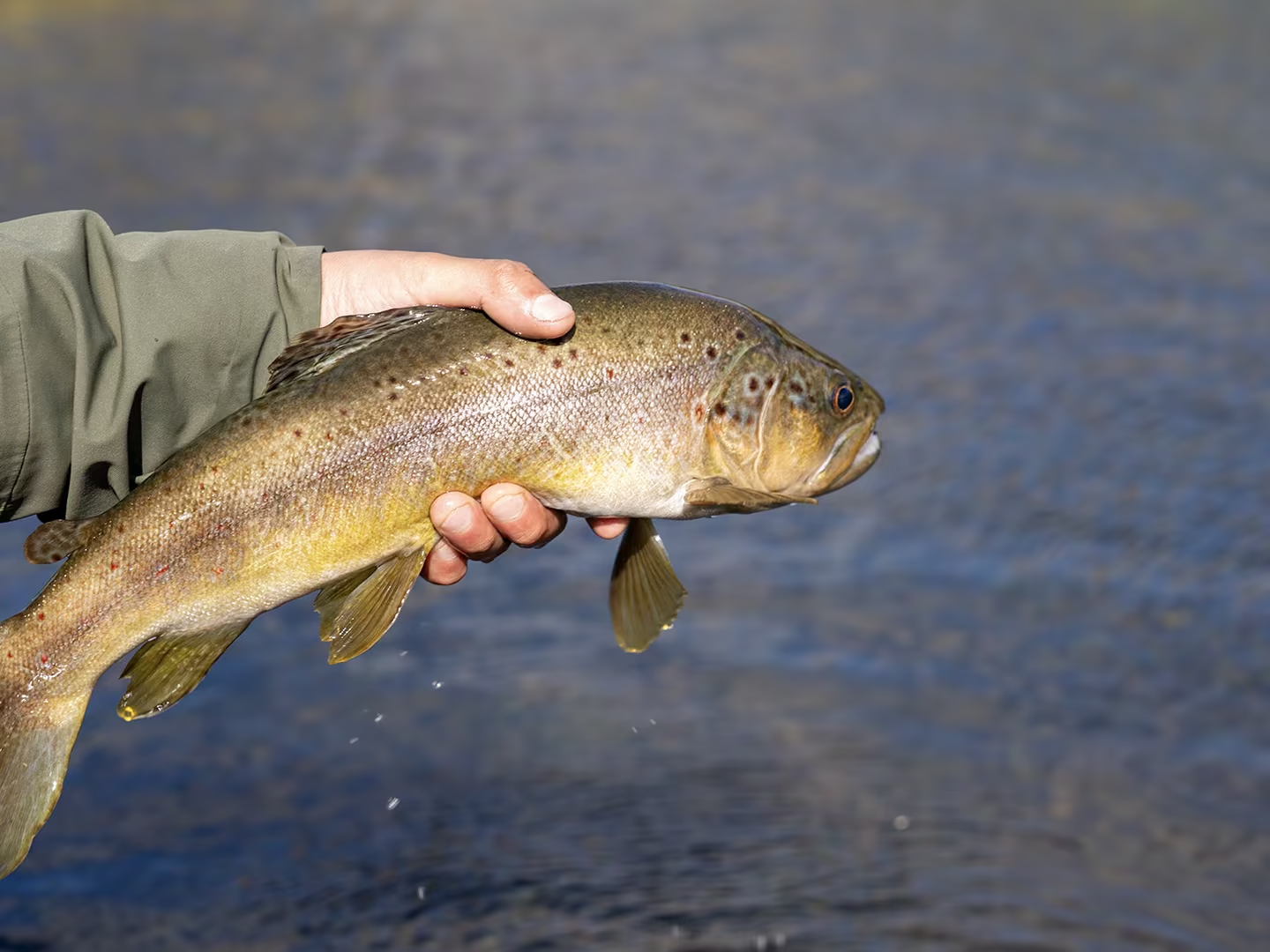
Unforgettable Fly Fishing Moments in Coyhaique, Chilean Patagonia
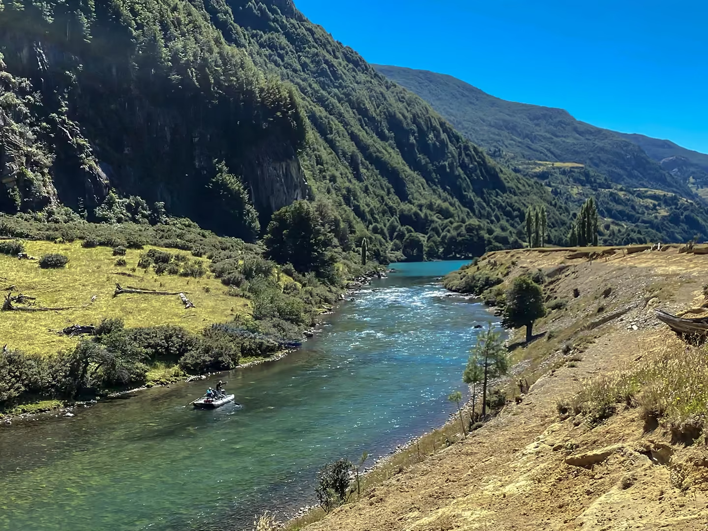
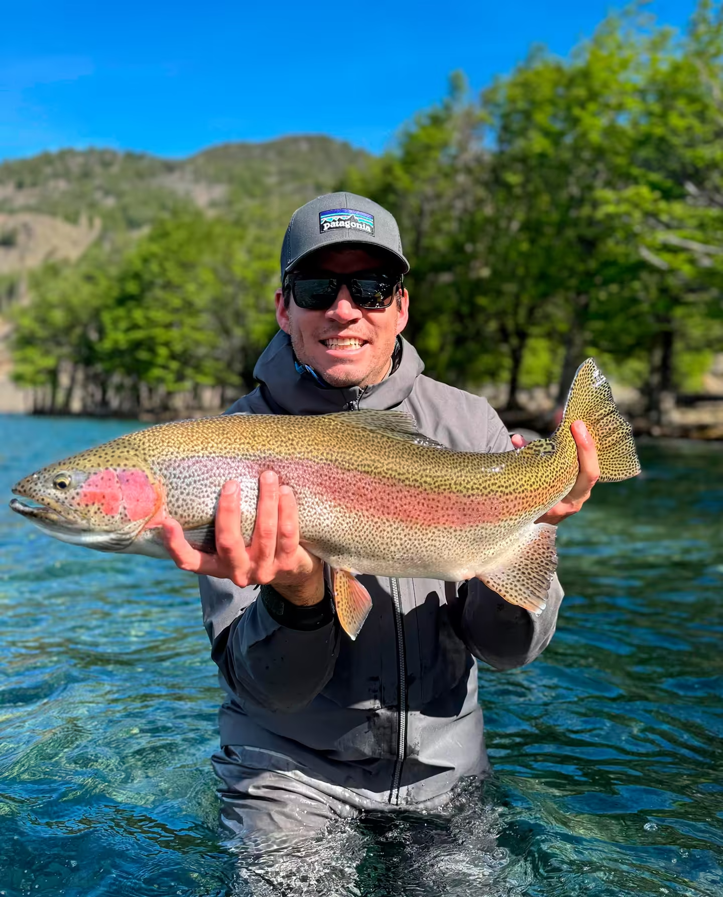
A glimpse into the isolation, the crystalline waters, and the wild trout that define our private beats. Real moments, captured on the drift.
Patagonia Fly Fishing Reviews: Stories from the River.
What fellow anglers say about our unpressured waters and the absolute wilderness experience.

“Matias & Sebastian connected with Douglas Outdoors when they started Chile Fly Fishing back in 2019/2020. They are now great friends who just happen to run a professional fishing operation in beautiful Patagonia. Everything is taken care of and first class once you arrive in Chile. Matias and Sebastian are great hosts and would love to show you some of their favorite spots. When it's time to book your bucket list trip to Patagonia contact the Team at Chile Fly Fishing and make your trip legendary.”